Slide packs shown on Olsen and Saga cruises
Here are the slide packs I showed as a speaker on a cruise to Madeira and the Canary Islands, February 2024:
Why are the volcanoes of the Canary Islands all so different?
Why the Cabo Girao cliffs are so high and what’s supporting all that weight of rock
Canaries and Madeira - What are they doing there (they don’t really fit with theory)?
Infamous volcanic eruptions through history - In the Canaries and worldwide
From icehouse to greenhouse - Climate change through geologic time
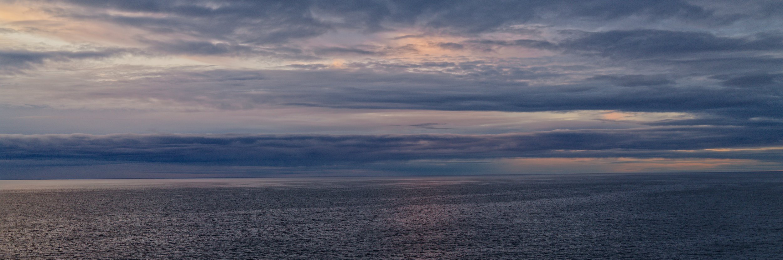
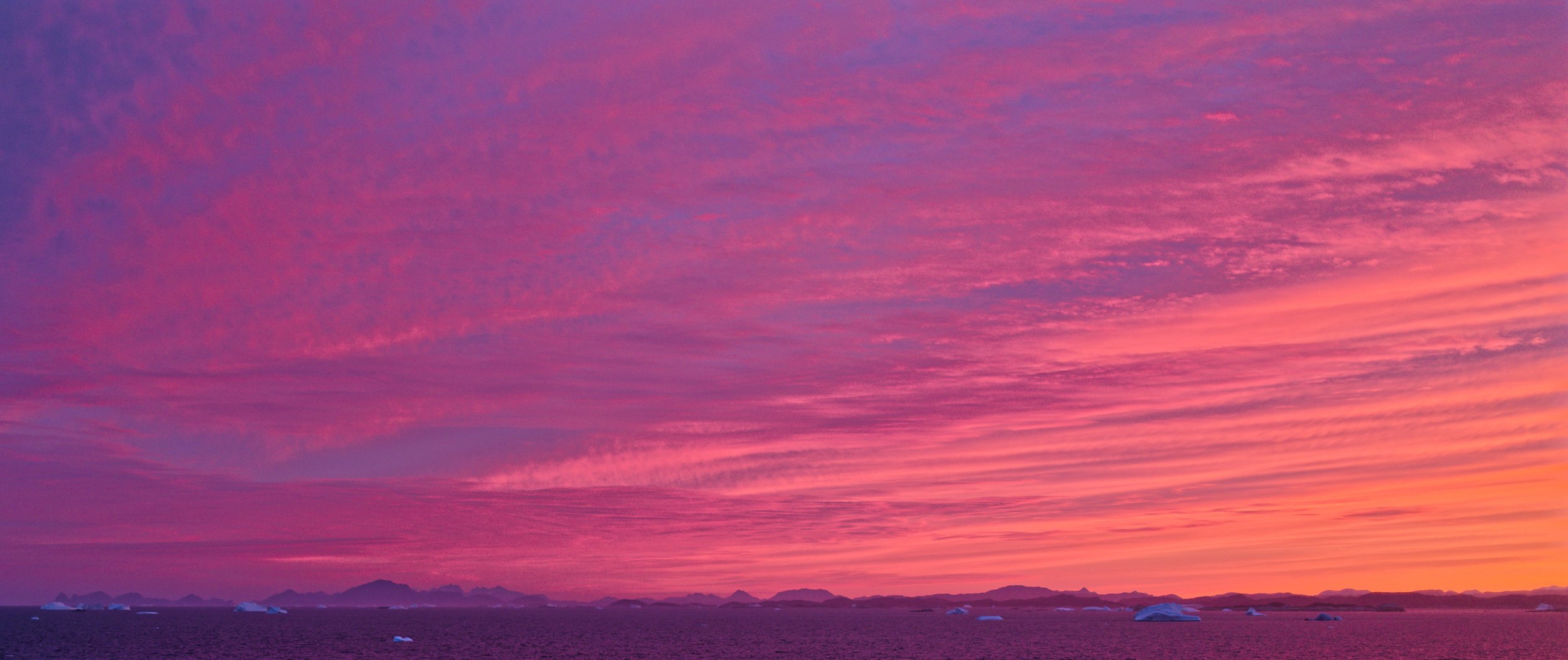
…and here are the slide packs I showed on a cruise to Iceland and Greenland, July 2024:
Greenland - The oldest chunk of rock on Earth
Anatomy of an Icelandic volcanic eruption
From icehouses to greenhouses - Extreme climate change through geologic time
Illegal gold mining operations seen from high, Peruvian Amazon basin
Tributary of Rio Madre de Dios, near Puerto Maldonado, Peruvian Amazon basin, viewed from a 737. The pitted moonscape is due to illegal gold mining, now so extensive it's easily visible from space (Google Earth image). Following deforestation, high pressure hoses flush out and filter the river sediment, the gold is then amalgamated using mercury which eventually enters the water supply, poisoning people and wildlife. Similar gold mining methods including the use of mercury are also leading to poisoning of the environment in west Africa e.g. Ghana.

Rio Madre de Dios from a Boeing 737

Rio Madre de Dios from Google Earth
Asbyrgi Canyon, NE Iceland
Asbyrgi was one of the most magical places we visited in Iceland yet barely anyone goes there! A horseshoe-shaped canyon roughly 3.5km long and 1km wide, according to the Vikings Asbyrgi formed where Odin’s eight-legged horse Sleipner planted its foot. Alternatively the canyon formed 8-10 million years ago due to catastrophic flooding of the Jokulsa a Fjollum river following an eruption beneath the Vatnajokull ice, not far to the south. Similar flooding reoccurred some 3000 years ago and a vertical cliff at the southern end of Asbyrgi (from where the photo below is taken) marks the site of a formerly enormous waterfall carrying the flood waters to the sea.
What caught my eye is the sharply defined edges of the canyon picked out in the perspective view from Google Earth (below, looking south) and shown also from ground level in my photo (taken at the end of the canyon, looking north). They are normal fault scarps, the surface traces of active faults . This means Asbyrgi is not just a river canyon but also a rift valley that formed where a ‘keystone’ block of crust dropped down along fault lines due to crustal stretching. Whether the stretching was a response to doming above shallow volcanic material , or if it’s tectonic extension related to the plate margin that runs through this region is not clear. There are several other examples of fault scarps in the area which we saw from the road on our drive out.


LiDAR
The LiDAR images shown below, and many more like them, are available to download from the Bare Earth website produced by Washington State Department of Natural Resources. Light Detection and Rangefinding (“LiDAR”) uses lasers to scan the shapes of surfaces to very high resolutions. As well as producing exceptionally detailed images of the earth’s surface LiDAR is also effective at ‘seeing through’ vegetation and forest canopies, sometimes revealing features invisible to conventional aerial or satellite imagery. LiDAR data cover the entire land area of Washington State, a geologically diverse region containing volcanoes (e.g. Mt St Helens), active fault lines and a host of young glacial features.

Active fault lines, Washington State, LiDAR imagery

Landslide, Washington State, LiDAR imagery

Landslide debris, Washington State, LiDAR imagery

Landslide debris, Washington State, LiDAR imagery

Drumlins, Washington State, LiDAR imagery

Point bars, Washington State, LiDAR imagery

Abandoned stream channels, Washington State, LiDAR imagery

Abandoned meander bends and point bars, Washington State, LiDAR imagery

Old fault scarp, Washington State